
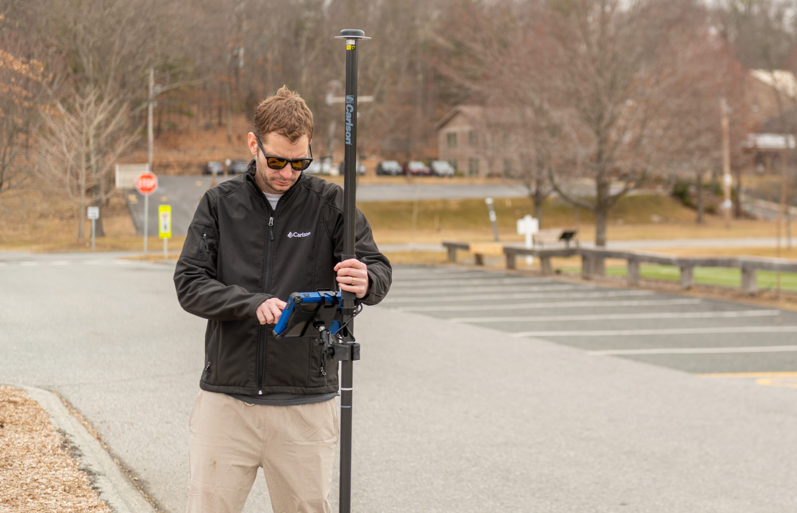
Hardware
If you are in the market for mapping hardware solutions, the partnership between Carlson and Delta V. allows you to purchase a complete line of mapping hardware at a discounted price. All the hardware we offer has been thoroughly tested in the field to ensure it will withstand the rugged conditions we are often required to work in. Carlson products have been trusted worldwide by professionals for their high quality, durability and dependability.
Software
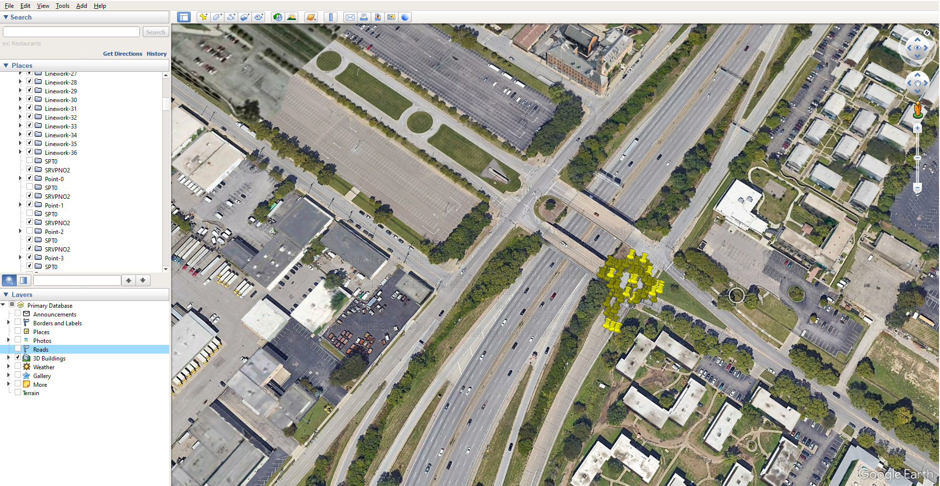
Delta V. Innovations delivers streamlined solutions for diagramming processes, regardless of the hardware currently in use. DVI-3D, our premier application, serves as a central hub for importing field data from a variety of sources, including laser scanners, drone imagery, total stations, GNSS receivers, baselines, and coordinate measurements. DVI-3D is designed to accommodate these formats with efficiency and accuracy. Carlson Photo Capture Standalone Advanced is a trusted photogrammetry tool among drone operators globally, enabling users to easily convert drone imagery into 3D models or point clouds. CSI Mobile remains a reliable choice for total station and GPS mapping requirements, offering simplicity and dependability and maintaining its reputation for over 17 years. All collected data can be integrated to create comprehensive datasets. DVI-3D is fully equipped to manage large-scale crime and crash scenarios. For those seeking an alternative to complex CAD solutions, Delta V. Innovations provides a comprehensive suite of user-friendly products.